
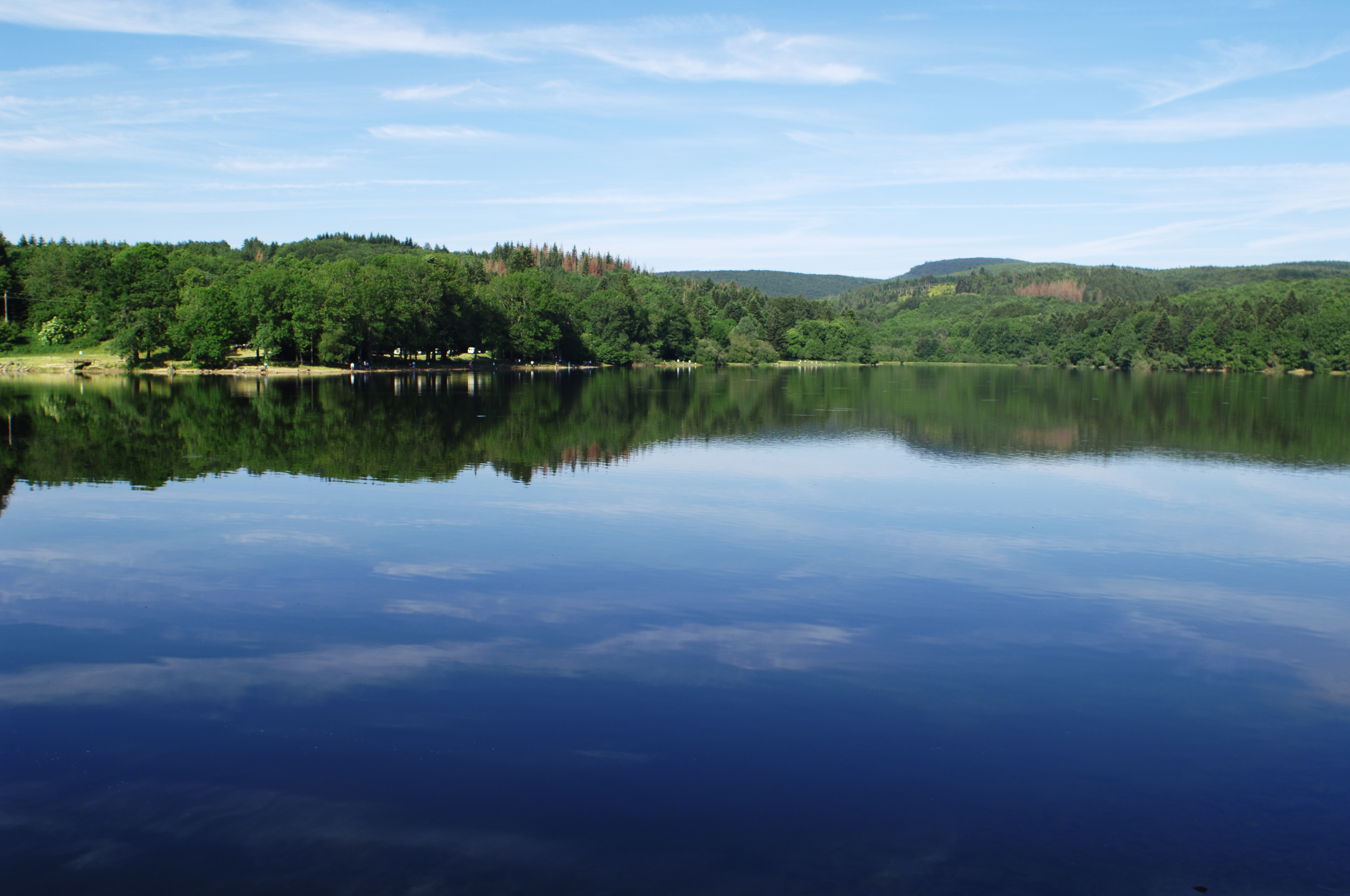


The "Tarn on Horseback" route relies largely on the network of hiking trails. You should follow the hiking trail markers and the directions provided by the specific “Le Tarn à cheval” signage, and refer to the GPS tracks or the detailed description of the trail markers.
Itinerary
11 km of distance 925 meters of altitude 354 meters of positive height difference 354 meters of height difference Route type ALLER_ITINERANCE
Tariffs & Means of payment
Free access.

