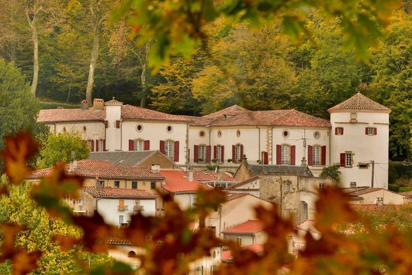


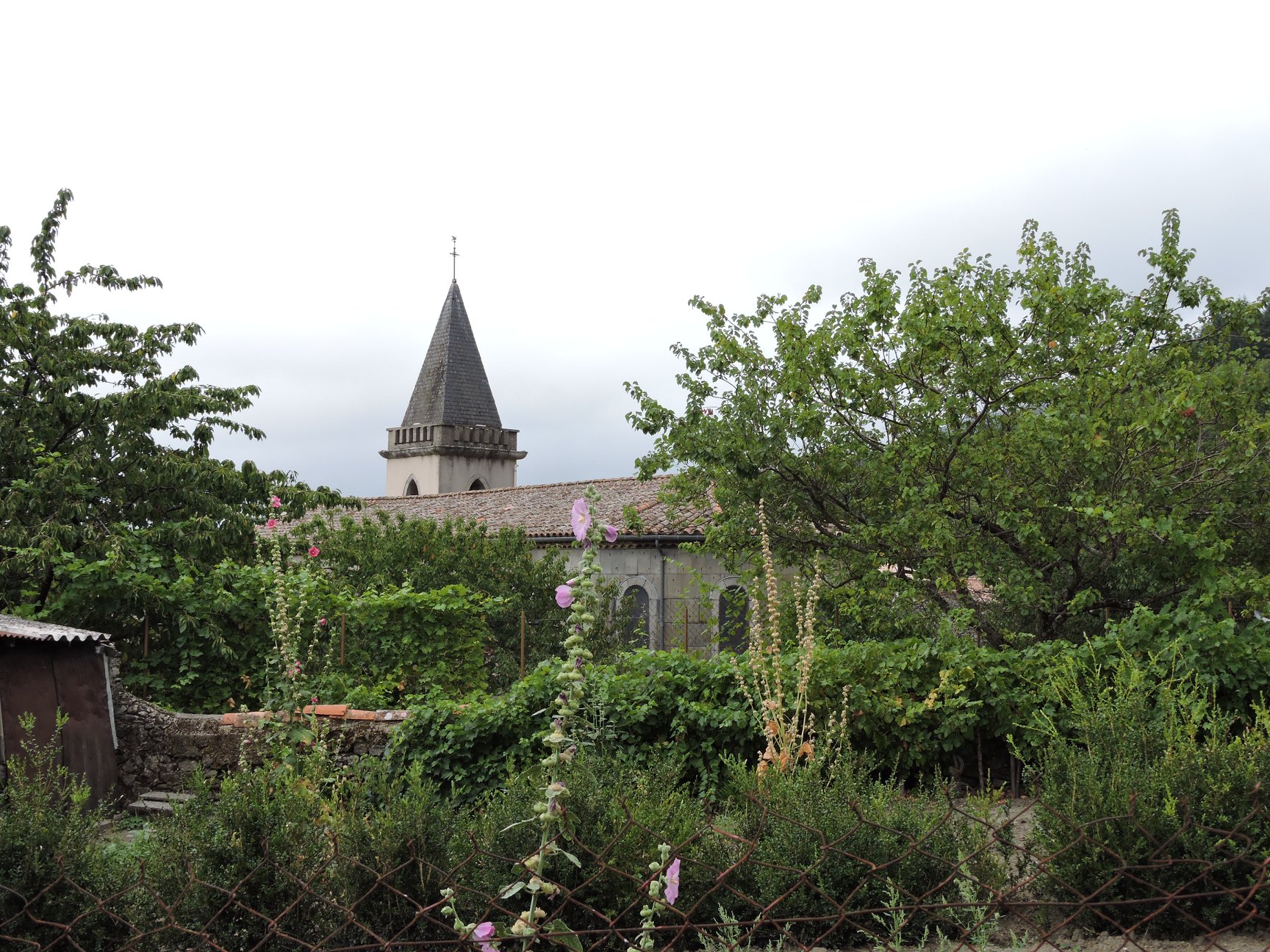
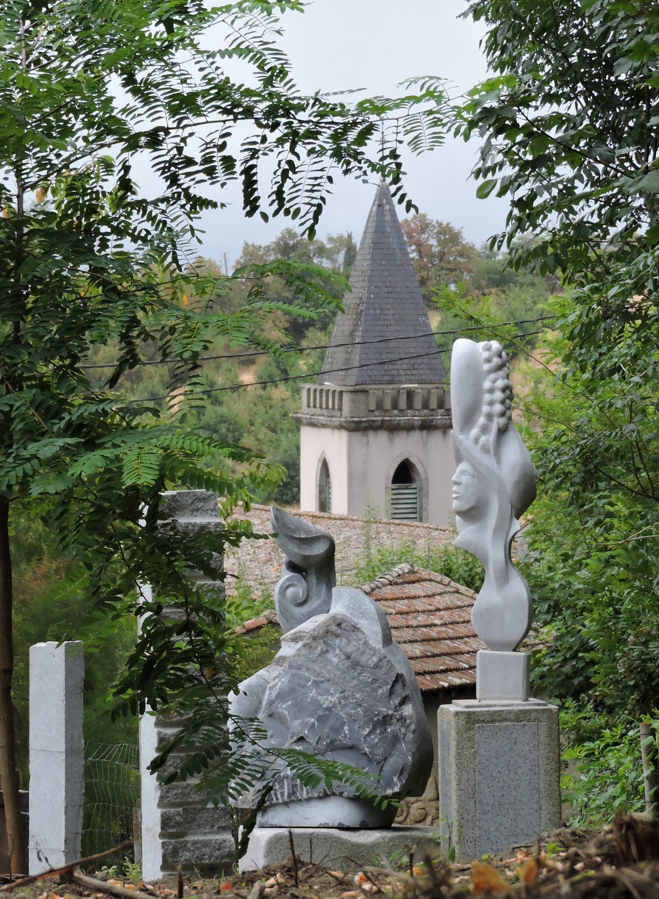
Aiguefond is one of the many pretty piedmont Tarn villages tucked into the foothills of the Montagne Noire. Its name is Occitan and comes from the words “aigue” (water) and “fonde” (bottom or bed,) and indicates the presence of springs and underground rivers. The thickness of the layers of chalk sediment through which the water trickles in the entrance to the grotto or cave is proof of this. The cool waters of the Coubas, a charming stream, run down from the mountain heights. The walk continues through a bucolic countryside of meadows and handsome oak hedges. It is an initiation to the rural heritage of discrete and harmonious constructions such as “pesquiers” and “béals” (reservoirs and ditches for irrigation puposes) which were used to encourage the growth of grass (and hay.) Similarly handsome hedges of oak and alder provided shade for the cattle to rest in, to shelter from rain, or simply to scratch.
Itinerary
13 km of distance 3 hours and 30 minutes of duration 350 meters of altitude 140 meters of positive height difference 140 meters of height difference Route type BOUCLE
Tariffs & Means of payment
Free access.
Equipment & Services
✓ Pets welcome
Adapted Tourism
✓ Not accessible in a wheelchair
Languages spoken
✓ French

