
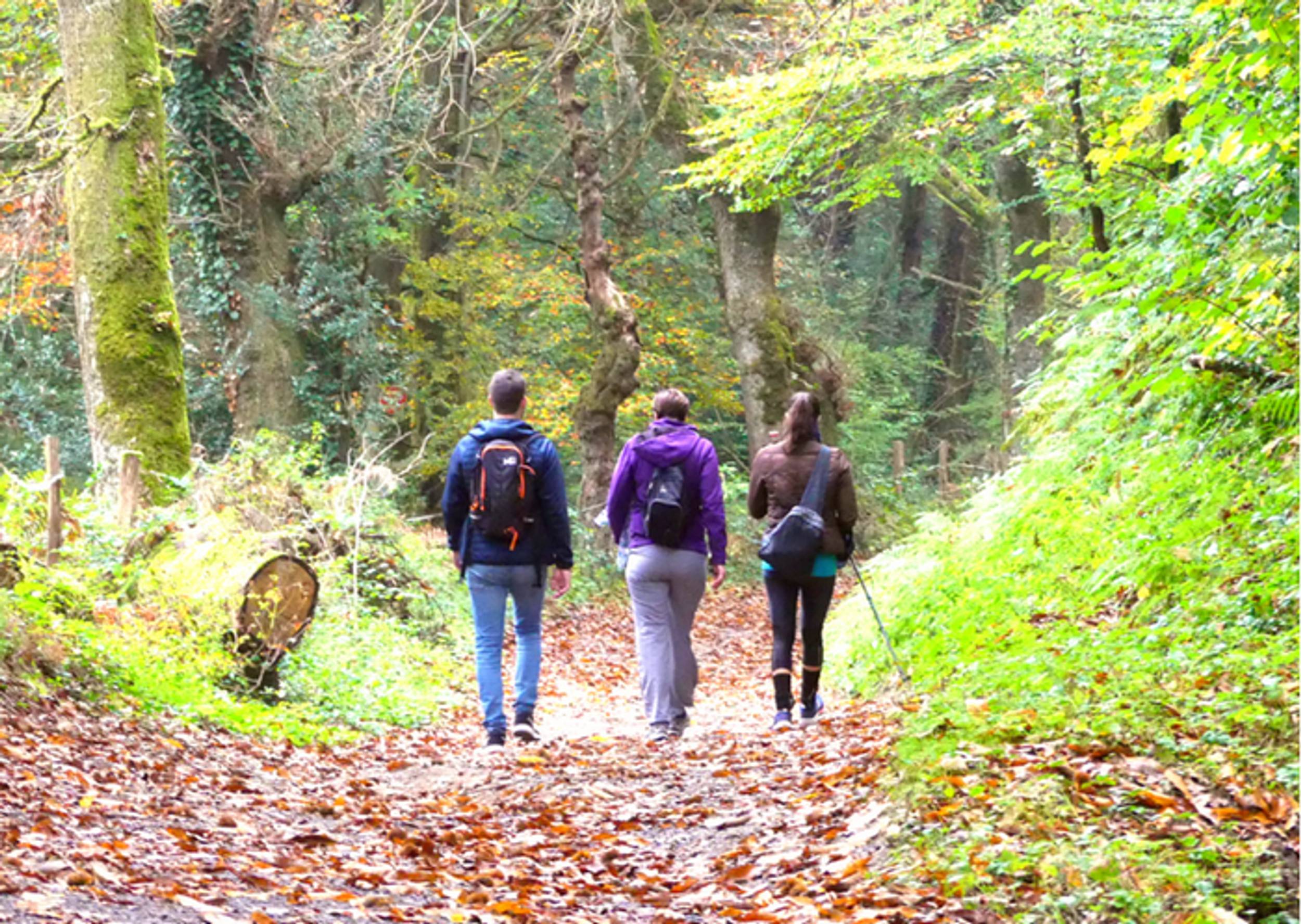


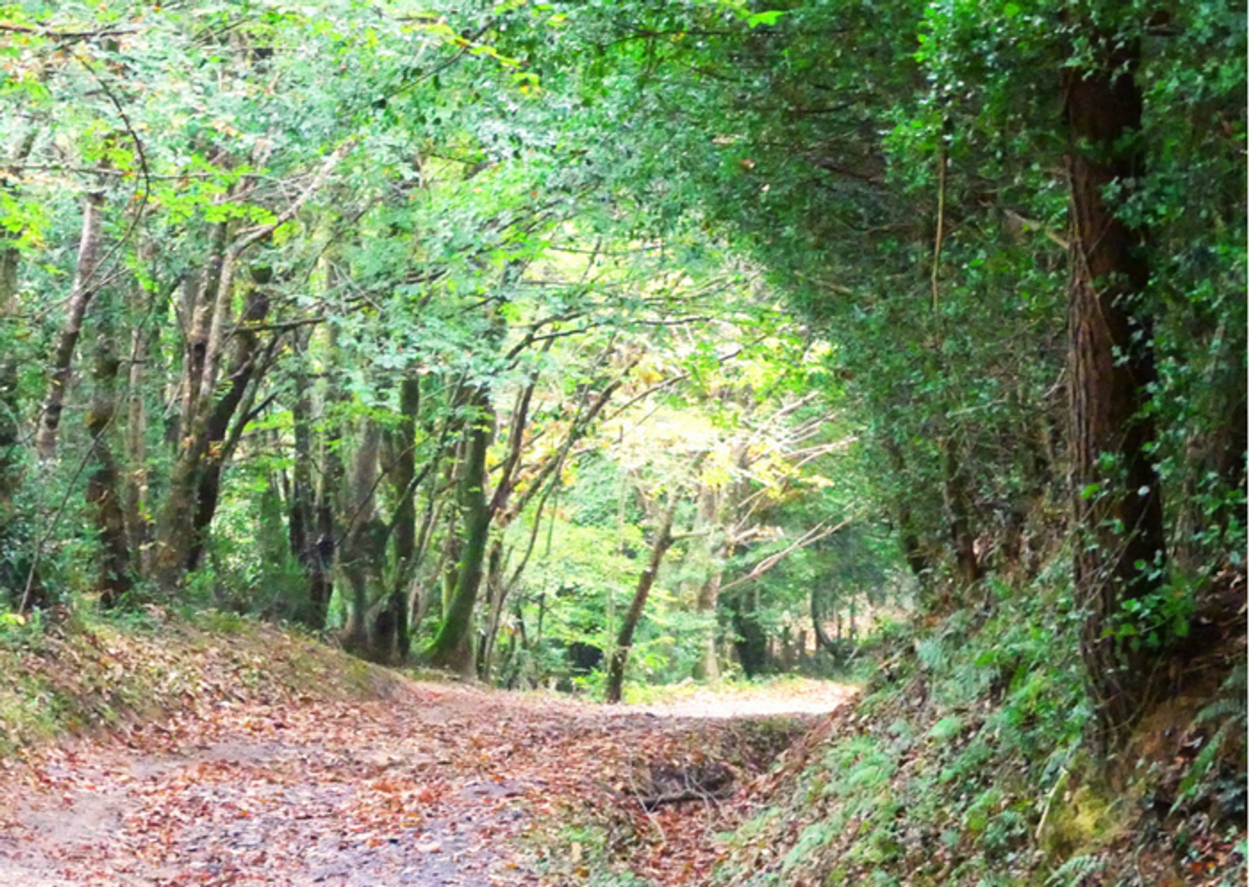
Clay paths, bordered by large oaks, reach the heights of Galinié, playing with the rocky reliefs up to the Suc de la Borie…
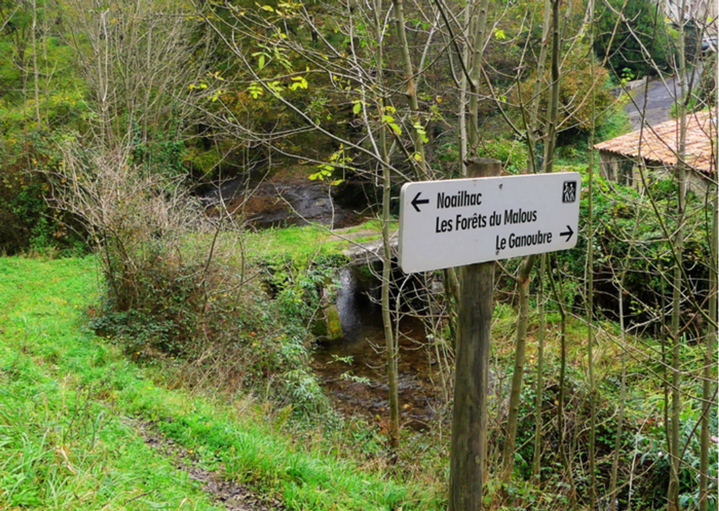
There, he opted for a dive on Boissezon, coiled, at the bottom, on a rocky peak besieged by the whitewater of Durenque and Durencuse. Beyond, the path flows as an explorer, in one of these deep valleys that cut the beginning of the Anglès plateau. So, the domain of streams and forest is imposed.
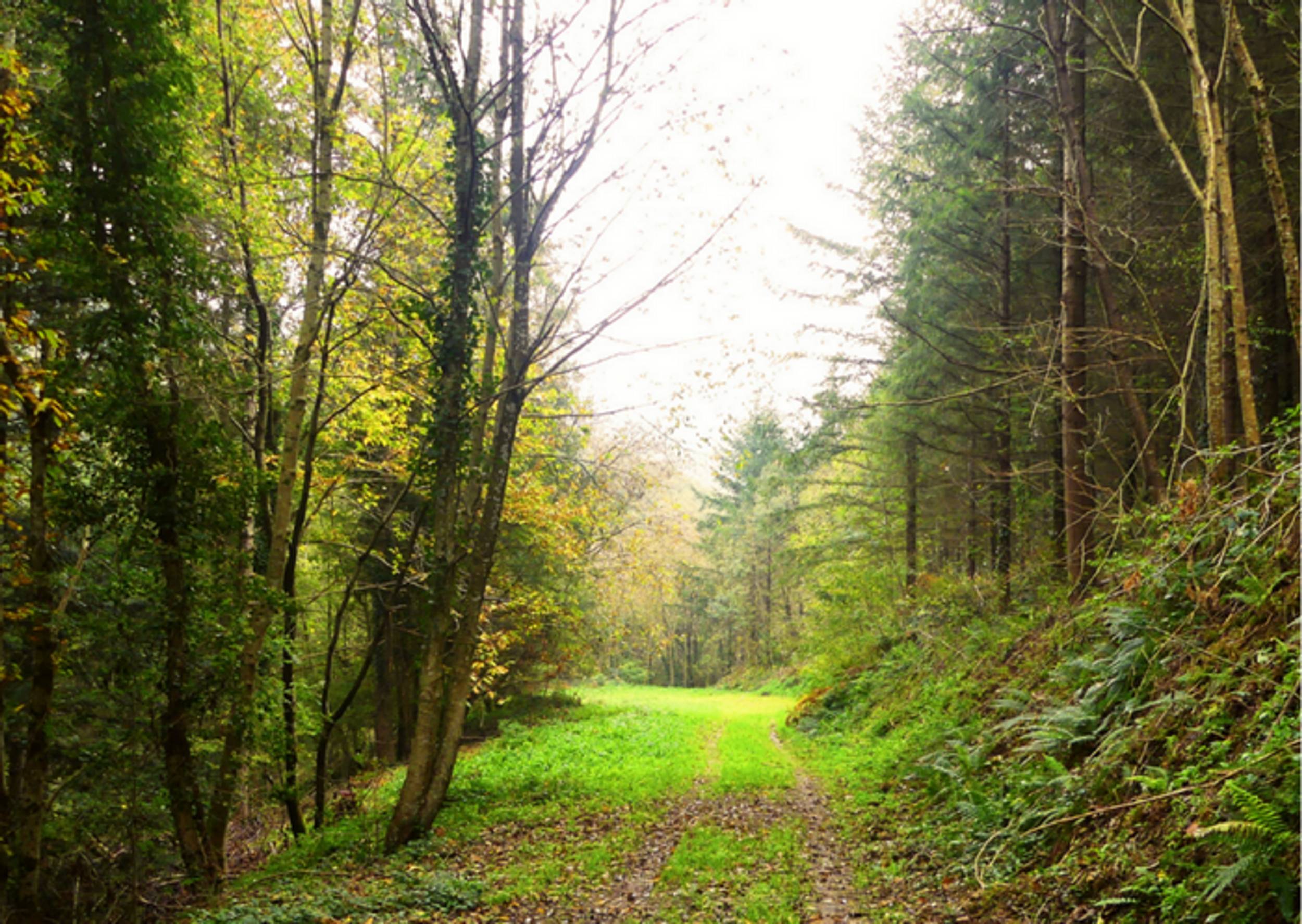
In the hollow of the ravines, in an abundance of songs of birds of the woods, the track climbs under the foliage of chestnut, ash and beech trees, grazes the broad branches of fir trees, meanders in the thick shade of spruces.
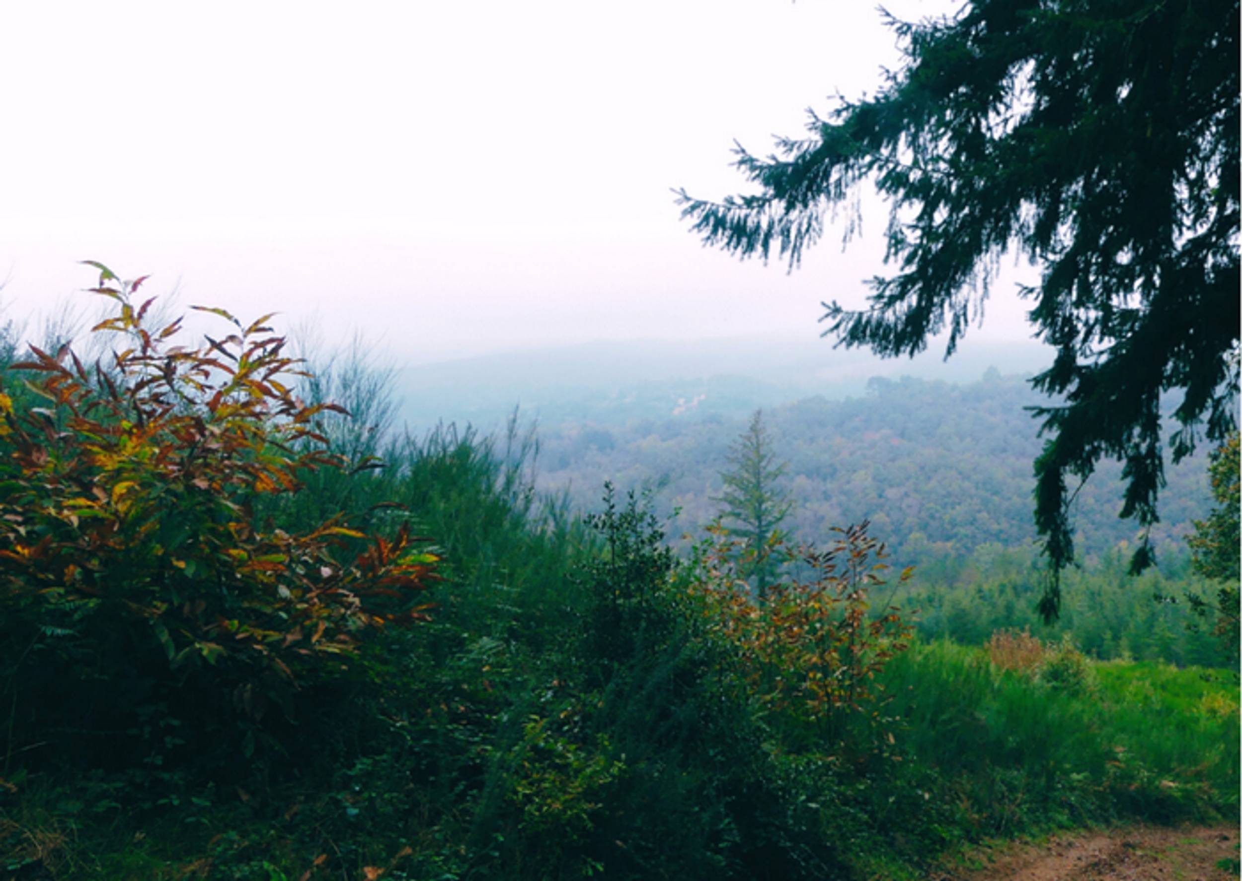
On the heights of the Puech du Fau, the course tumbles again towards the plain, running on the back of an open spur of moors which advances in belvedere above the nascent plain.
Itinerary
12.92 km of distance 467 meters of altitude 425 meters of positive height difference 425 meters of height difference Route type BOUCLE
Tariffs & Means of payment
Free access.

