
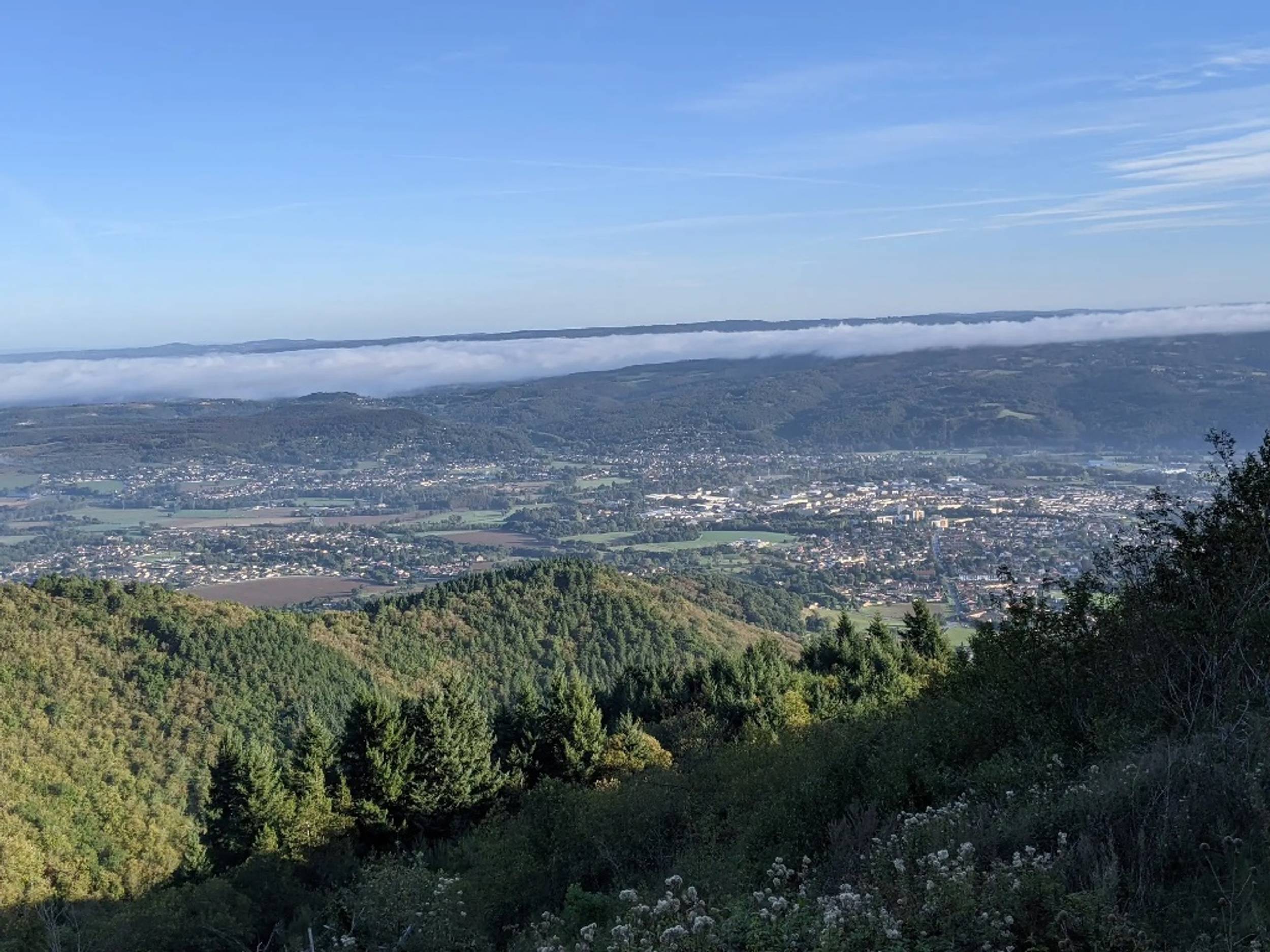


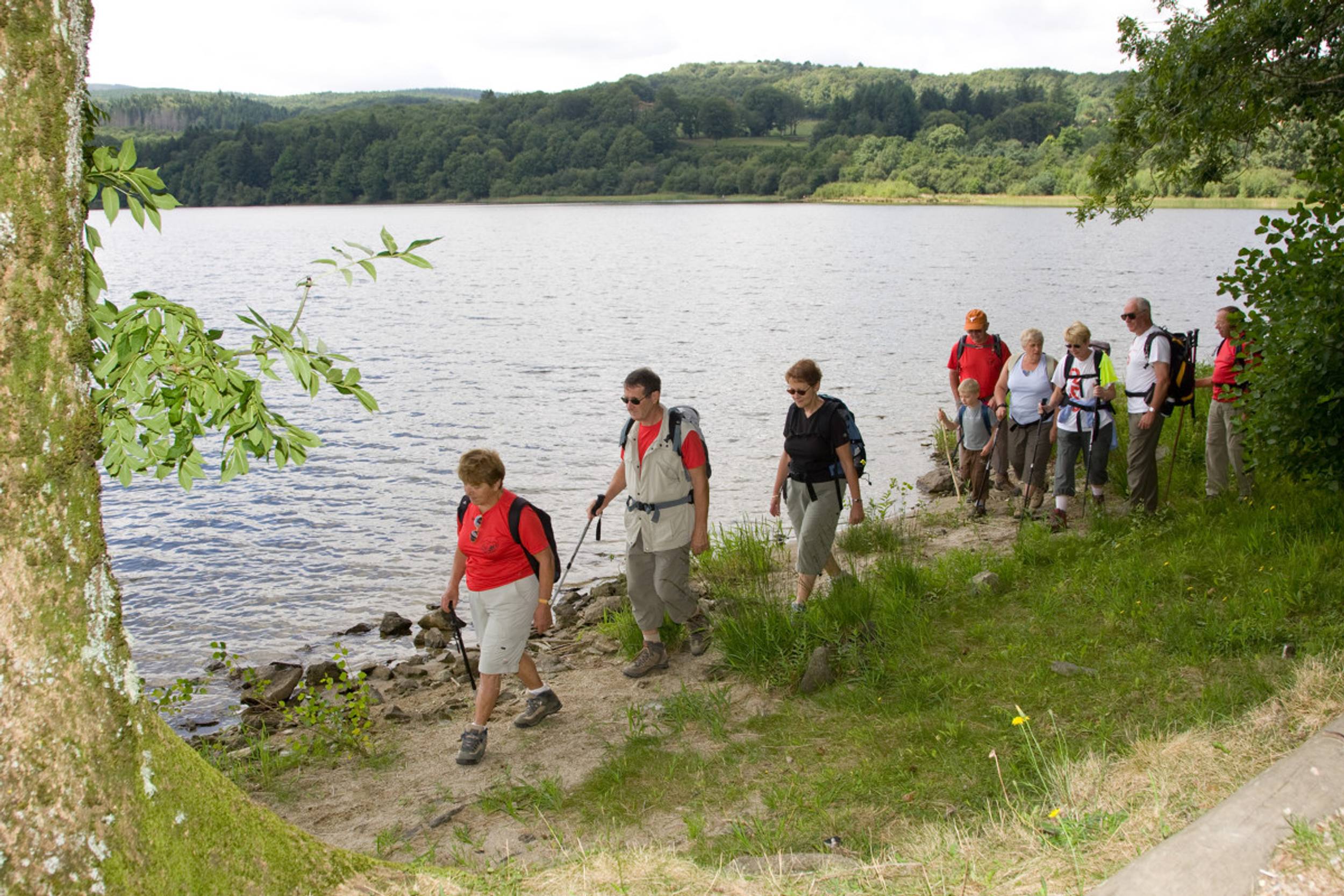
Running alongside the half-timbered facades, the path escapes towards cooler altitudes. Quickly, it crosses the layer of chestnut trees to reach large stands of conifers. The forest tracks take a balcony route, 300 meters above the village and the Thoré valley, which can be admired through the clearings and slender forests... Soon here are the crystal clear waters of Lake Montagnès which invite you to swim or take a nap on its beautiful beaches on the edge of the forest. Very close by, the Pic de Nore reveals its vast slopes dotted with meadows and moors. Back in the village, we will have followed in the footsteps of hundreds of generations, when loggers, shepherds and peddlers traveled between the plains and the mountains to ensure their prosperity.
Itinerary
15.59 km of distance 785 meters of altitude 547 meters of positive height difference 547 meters of height difference Route type BOUCLE
Tariffs & Means of payment
Free access.

